|
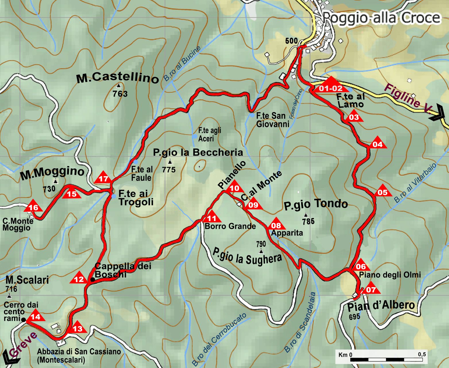
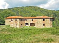
Poggio alla Croce |
|
Società Mutuo Soccorso Poggio alla Croce |


|
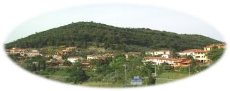
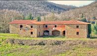
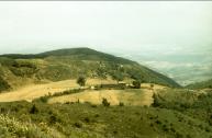
The Remembrance Path is a looped trail that begins and ends at Poggio alla Croce. Starting from Poggio alla Croce you take trail n.21, which descends for a short distance on the road heading towards Figline Valdarno. Look for the start of the trail on your right that heads up through the woods. It is a difficult climb, because of the altitude gap and the rough and stony path, but your effort will be rewarded by the beautiful view you will find of the upper Valdarno and Pratomagno valleys. After the climb up, you will reach the plateau called Pian degli Olmi, where you will immediately recognize on your left the farm house known as Pian d'Albero (695m.) Here there is a memorial of a nazi-fascist massacre that took place on June 20,1944. After a dutiful visit to this symbolic site of the Tuscan Resistance, continue your journey by taking the CAI n. 7 trail heading towards Badia di Montescalari which goes up to the two hills above which are named Poggio La Sughera and Poggio Tondo. After a few hundred meters, take the detour on your right that heads towards Casa al Monte. Here you will find the ruins of this house which was inhabited by the Venturi Family. This is the place where the brigade's bread was baked. Moving a hundred meters away you will find the Pianello. This is the place where the Allied airdrops landed, while the Venturi family worked tirelessly to help. In this natural basin, which offered shelter from the danger of being seen, between May and June the brigade most likely received at least two crucial airdrops from the British army. They equiped the partisans which much-needed weapons. From here you will descend along the Borro Grande towards the main CAI 07 trail, you will turn right and continue to the Cappella dei Boschi (Chapel of the Woods), where, taking the CAI 00 path, turning left, you will reach the Abbazia (Abbey) di San Cassiano, also known as the Badia Montescalari. It was founded in the 11th century and served as a refuge for German troops. From there head in the direction of the natural wonder of the Cerro dai Cento Rami (Tree of One Hundred Branches). From here turn back on the CAI 00 trail, where after passing the Cappella dei Boschi you will find the Fonte ai Trogoli. This is a small spring that was used in the past to water animals. A little further on, turn left on to the CAI trail 20. After a few dozen meters leave path 20 to turn left again towards the Casolare di Monte Moggio. This house was also used by the partisans as an oven for baking bread. From here turn back around and find the CAI 00 path which, turning left, will take you back down to Poggio alla Croce in less than an hour.
Itinerary: Poggio alla Croce, Pian d’Albero, Cappella dei Boschi, Badia Mote Scalari, Cappella dei boschi, Fonte ai trogoli, Monte Moggio, Fonte ai trogoli, Poggio alla Croce. Length: 11,3 Km. Height: min: 480 m. max: 750 m. Altitude gap: 416 m. Difficulty: E Easy Travel time: 5 hours |


|
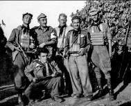
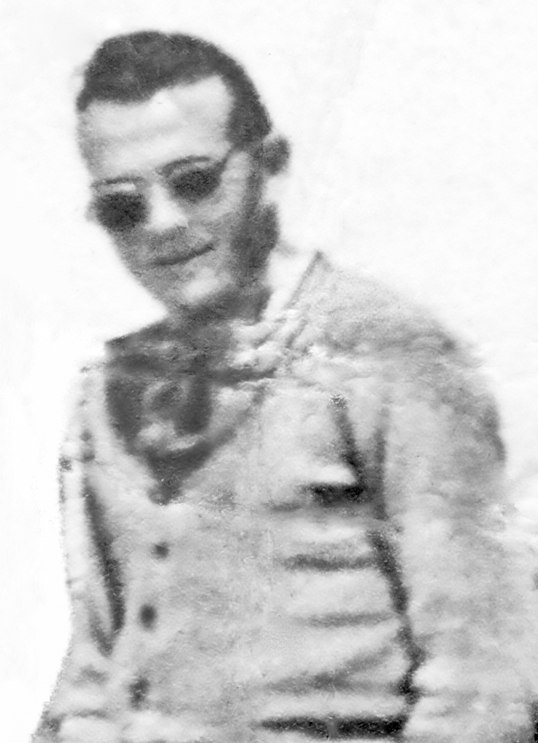
Oliviero Buccianti nome di battaglia “Bistecchino” |
|
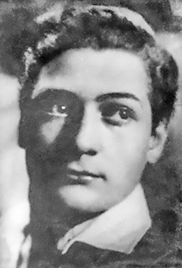
Ennio Carresi |
|
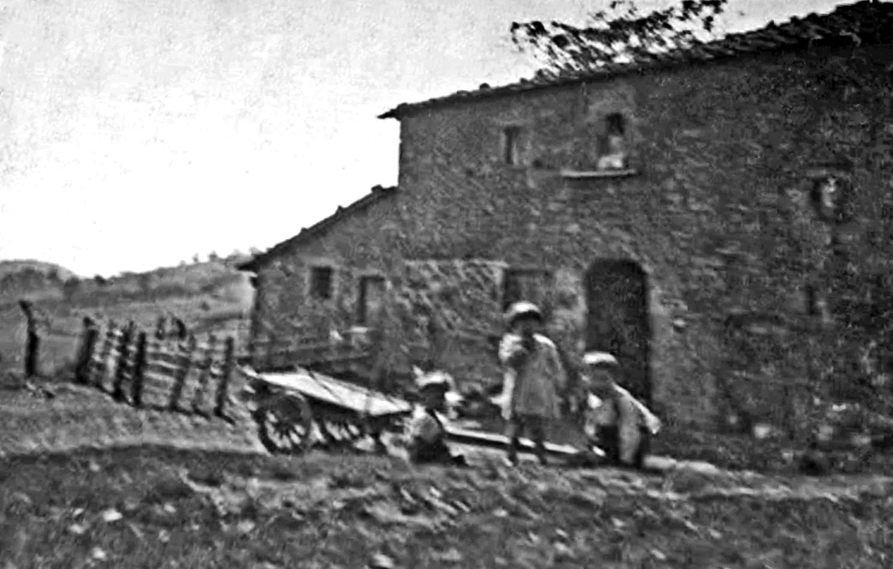
Casa al Monte |
|
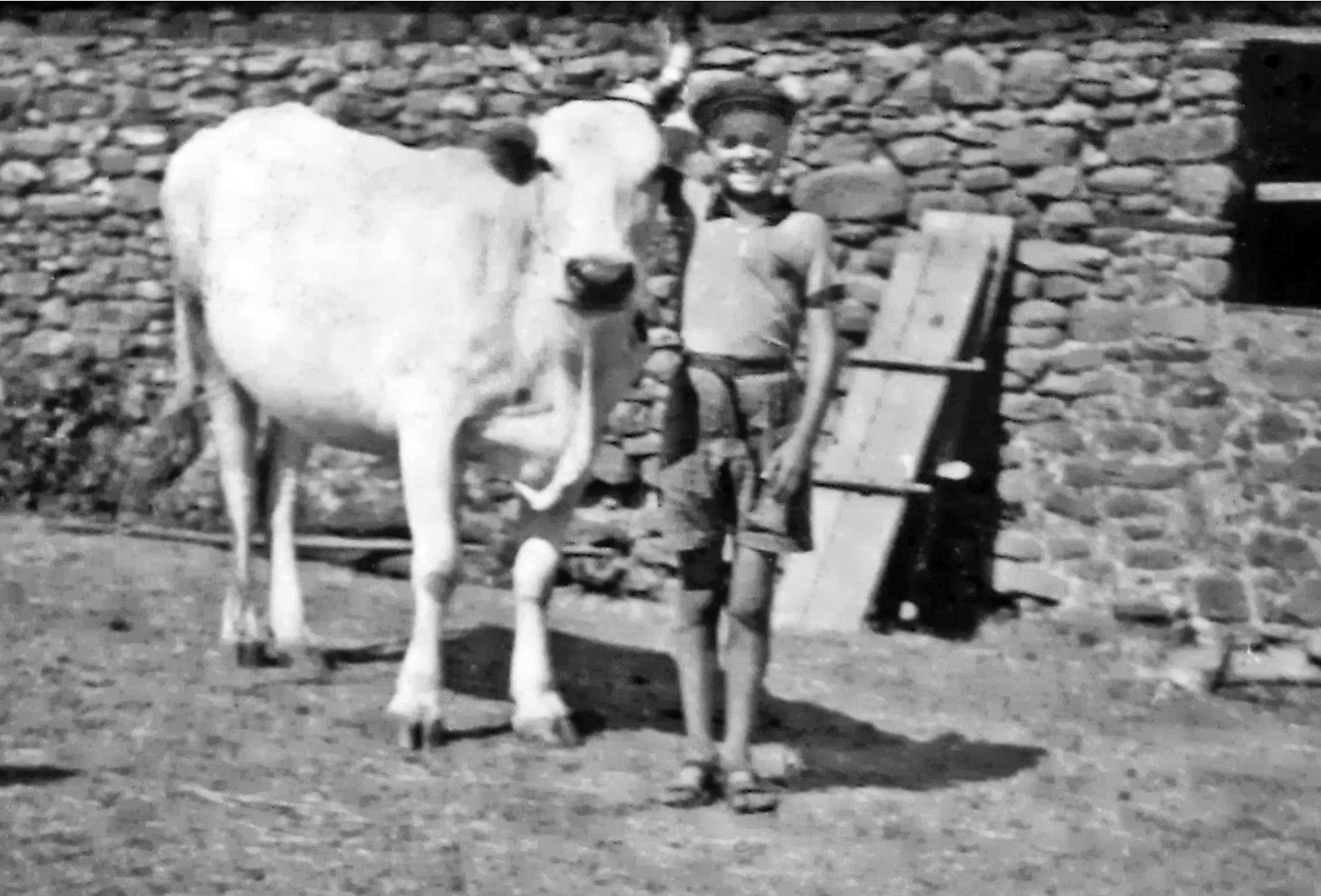
Aronne Cavicchi insieme alla su mucca preferita “Passeggera”.
|
|
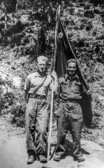
Luigi Garavaglia “Gino” a sinistra, Danilo Dolfi “Giobbe” a destra. |
|
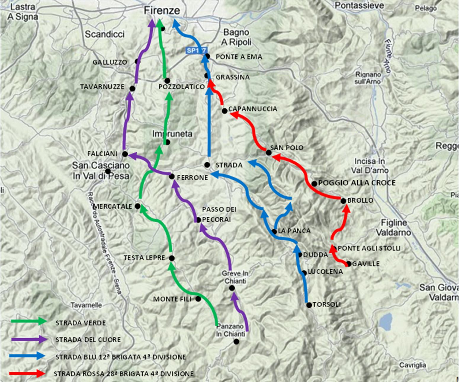
Le quattro direttrici d’attacco dell’Esercito inglese verso Firenze |
|
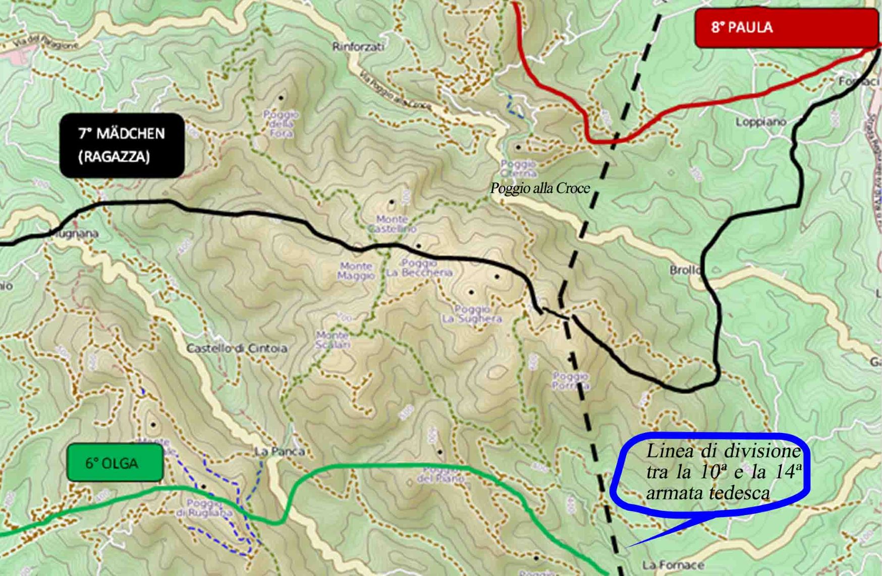
Tre linee difensive tedesche OLGA, MÄDCHEN, PAULA |
|
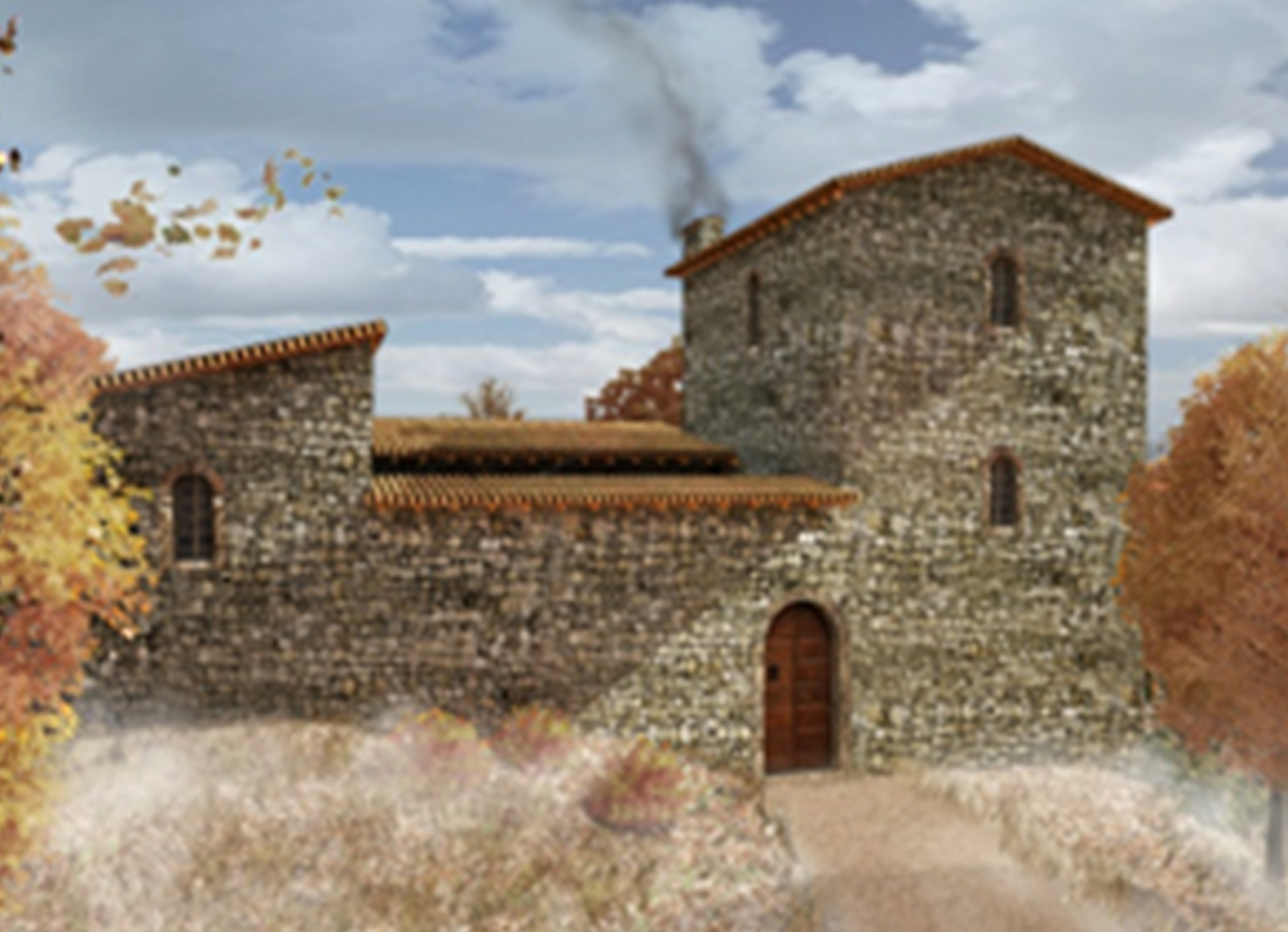
Ipotesi ricostruttiva della “casagrande” di Monte Moggino (a cura del Gruppo San Michele-OdV) |